Active Alerts:
Floods
Annual Flooding
The Cowichan area is subject to annual flooding. Some floods may be more impactful depending on speed of onset, other environmental conditions (snow, rapid temperature changes), season, tidal activity and urban development around or on flood plain areas. Floods can damage buildings, cause power outages, disrupt transportation and create landslides. Fast-moving flood waters can also be a hazard for people.
For more details on the flood plains, flood levels and related mapping in the Cowichan area can be found on your jurisdiction’s website or here.

Lake Flooding
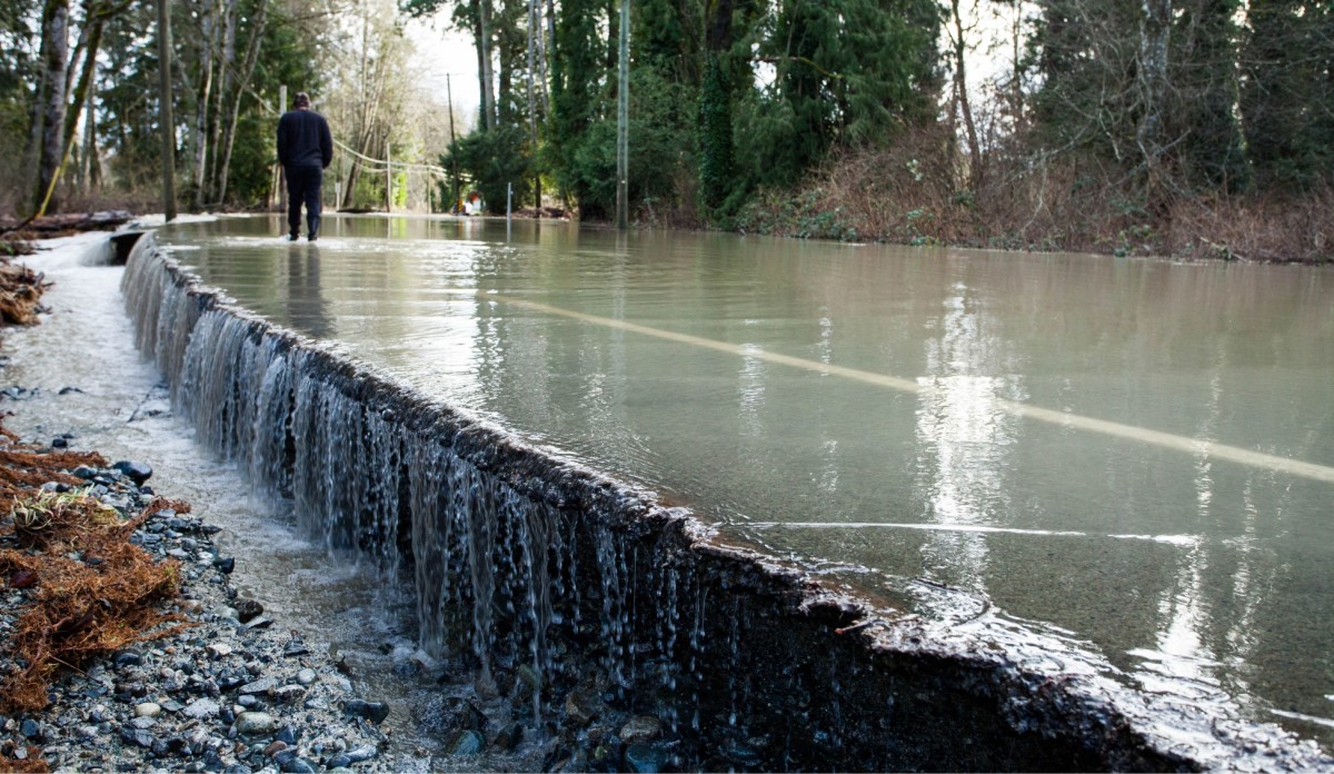
Extended heavy rainfall during an ‘atmospheric river’ or a ‘pineapple express’ event can raise water levels and flood shoreline areas quickly and unexpectedly. Cowichan Lake and Shawnigan Lake have flood construction levels to ensure that housing surrounding the lakes are protected. But many houses, roads and infrastructure are already built within these areas.

River Flooding
Rivers and streams often spill over their banks onto the surrounding floodplain. Low-lying areas adjacent to these streams flood regularly and are unsuitable for certain types of development. Increasing intensity of winter storms due to climate change may lead to higher flood levels in the future.

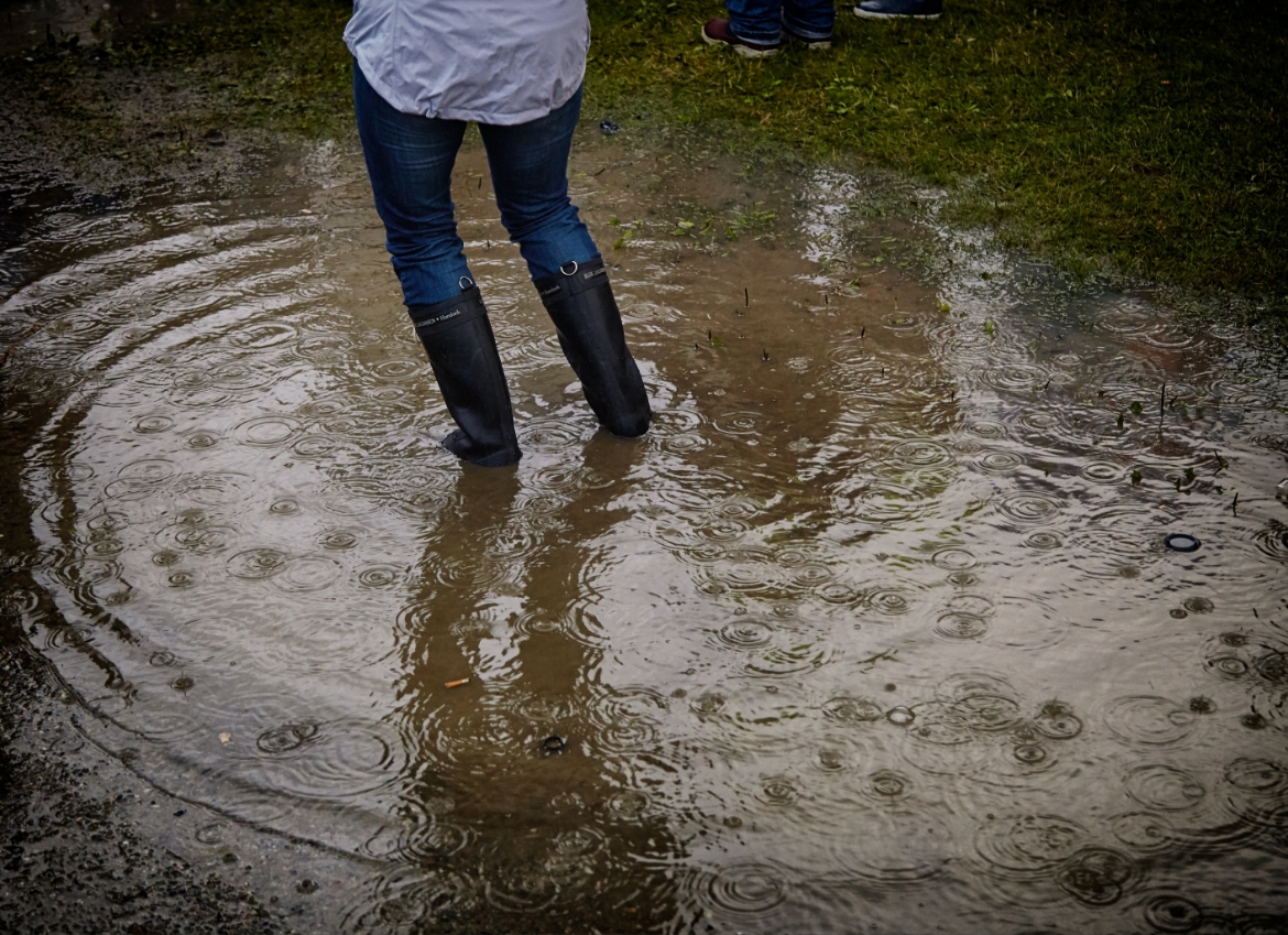
Stormwater and Urban Flooding
In some developed areas across the Cowichan region, some form of organized drainage system is in place to manage stormwater flow due to increased density and impermeable (paved) surfaces. Drainage may be managed by a simple road side or more formal stormwater catch basins and pump station. Occasionally these systems may be overwhelmed or backed up due to the volume of rain or associated flooding.

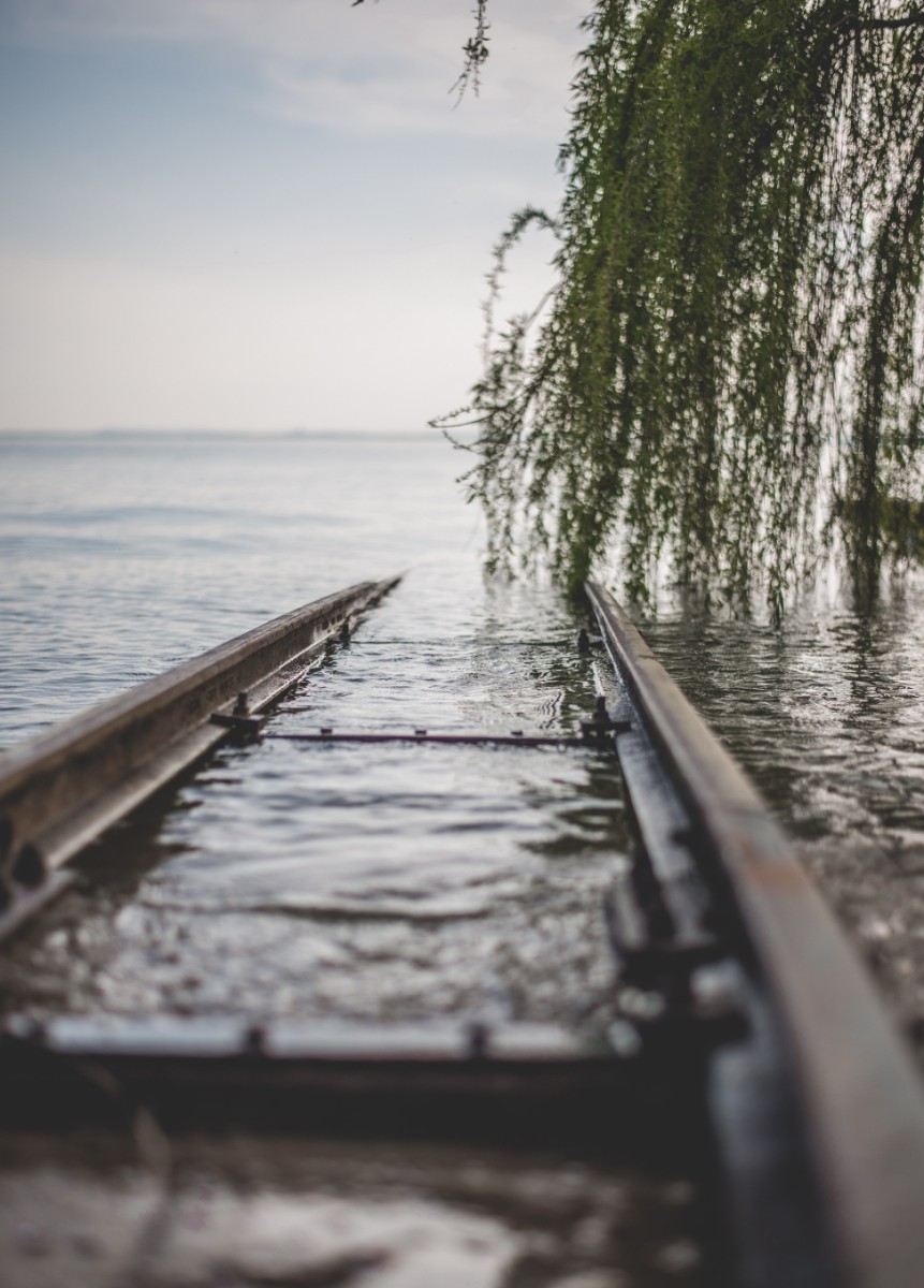
Coastal storms & changes to sea level
Living along our beautiful coast lines comes with benefits but also risks such as storm surges, eroding coastlines, and rising ocean levels and tides. The speed of this rise is uncertain, but ocean levels are expected to increase by over one meter before the end of the century, resulting in both temporary and permanent flooding of some areas in our region. Oceanside infrastructure and buildings will need to adapt to higher sea levels and future development must consider increased flood construction levels.
Flood Preparedness
Prevention
To prevent flood impacts, consider the following questions:
- Do I live in a floodplain?
- Do I know the flood elevation below which things might get wet?
- Do I store valuables or contaminants like solvents in that zone? If so, are they raised off the floor?
- Is my septic field below the water line?
- Do I have a backflow protection system in place to protect my home?
- Have I done a quick check of the catchment basins around my house to make sure they are clear?
- Have I reviewed and upgraded my own drainage system around my home?
- Have I viewed a map of affected areas for sea level rise?
- Do I live in or rely on services in the flood zone?
- Is insurance available to protect my home or business from certain types of flooding?
Take The Following Action:
- Store valuables and important items or documents in water-tight containers or in higher places, like on a tall shelf or upper floor.
- Clean your gutters regularly.
- Keep nearby storm drains clear of debris.
- In the winter, clear snow at least 3-5 feet away from your home’s foundation.
How to Prepare:
- Know the Risk. Make a Plan. Build a Kit.
- Sign up for CowichanAlert
- Stay tuned to High Stream Advisories, Flood Watches and Flood Warnings
What To Do In The Event Of Flooding
- Follow the instructions of emergency responders, local government, and First Nations.
- Stay tuned and act as instructed during evacuation alerts and orders that affect your area.
- If the area you are in is impacted, move to higher ground.
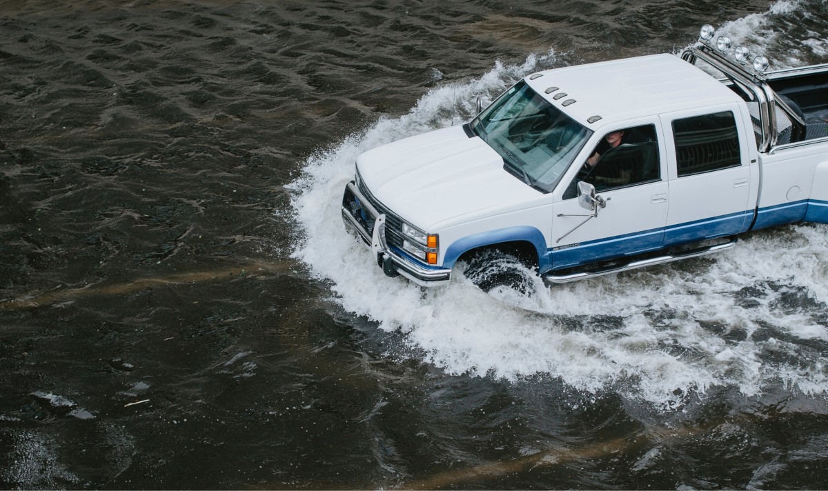
- Do not attempt to cross rivers or flowing streams.
- Do not drive or walk across flooded roads – 15 centimeters of rushing water can knock an adult off their feet; 30 centimeters of water can sweep away a vehicle.
- If your car begins to flood, abandon it quickly and head to higher ground.